We locate, digitize and inspect your pipelines
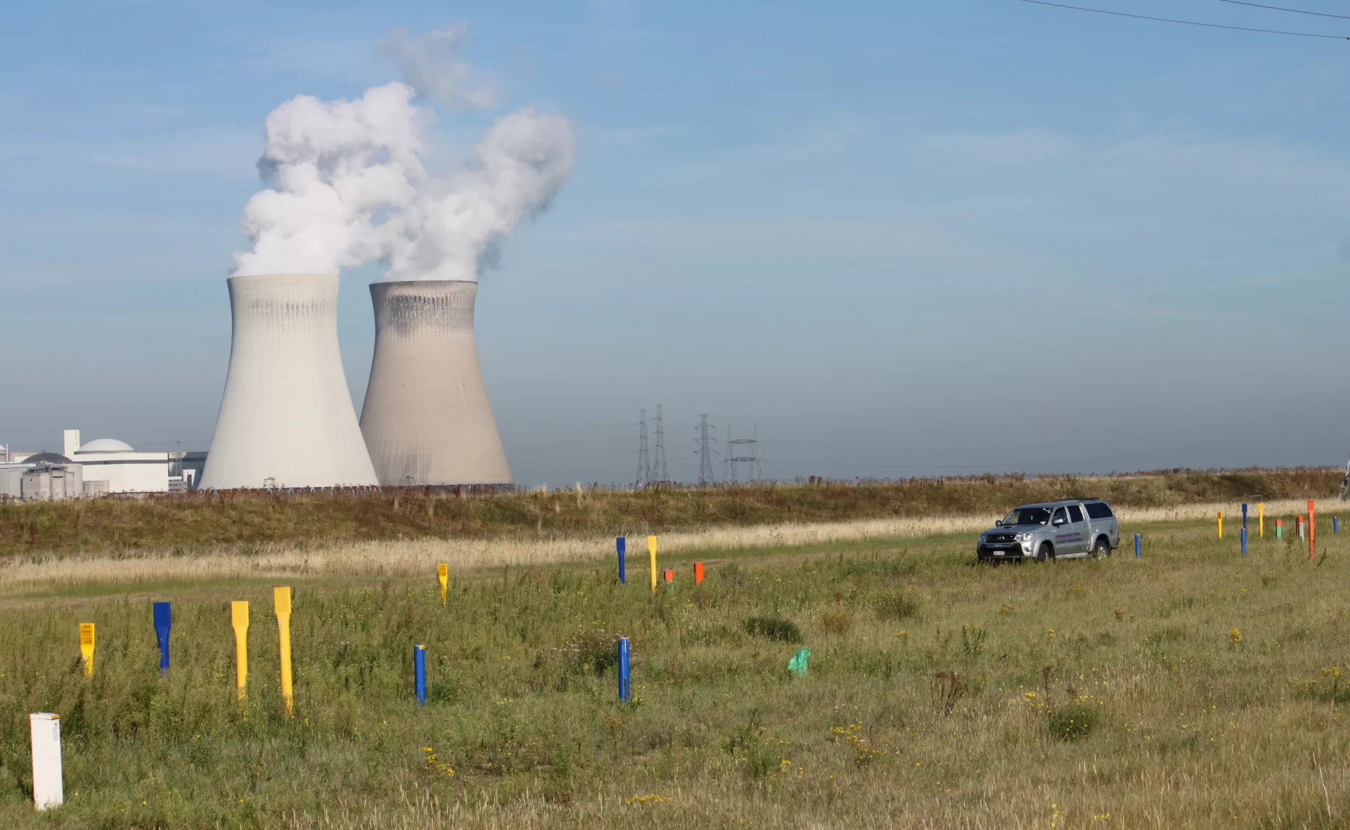
Knowing the exact locations of your pipelines or power cables and having correct and up-to-date documentation of the pipeline route all help you avoid damaging these assets during excavation or trenching.
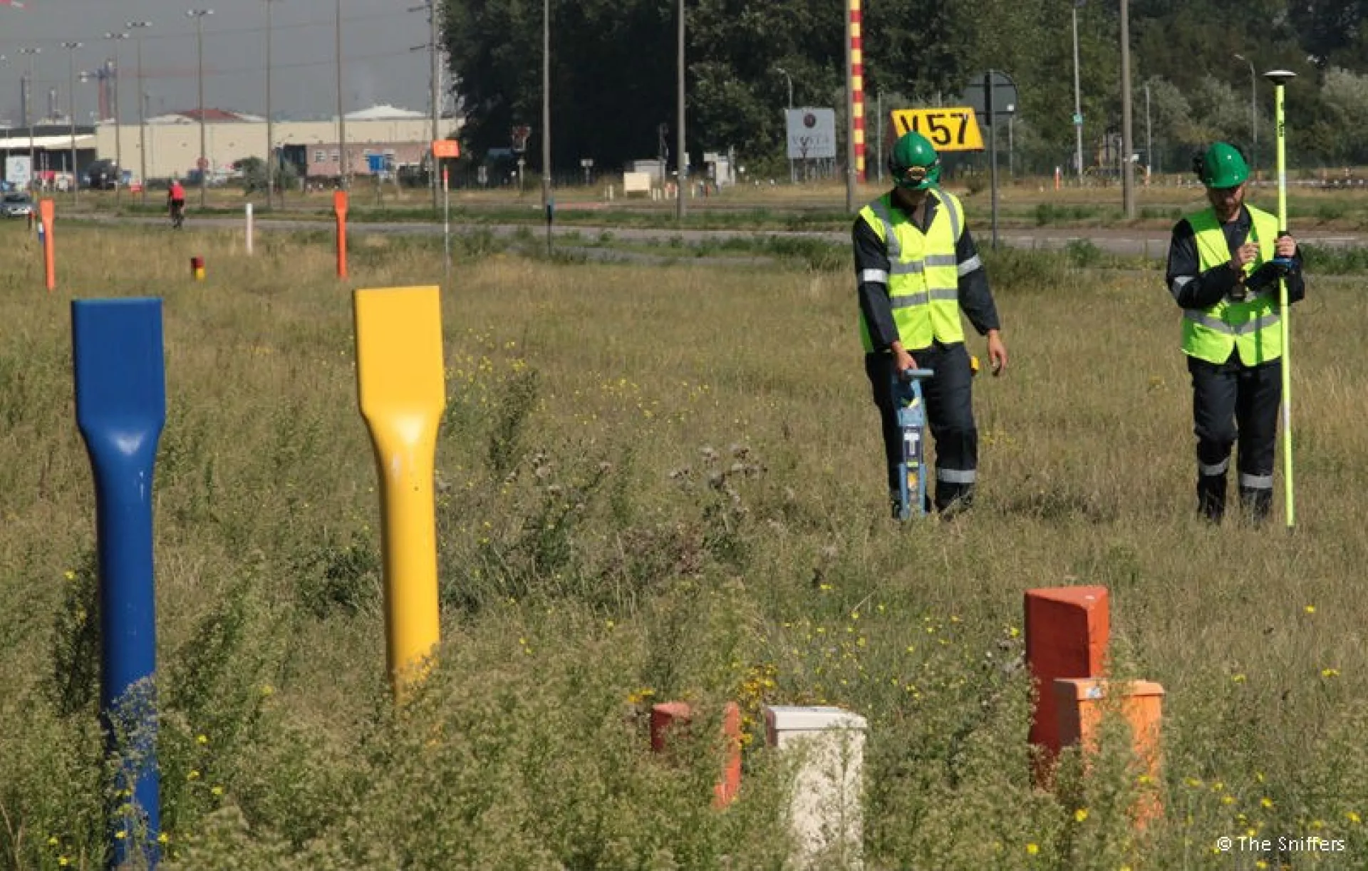
Intero - The Sniffers help you determine the position and depth of underground pipelines and cables without having to excavate. This means saving costs. Besides pipeline localization, our Pipeline Management team inspects pipelines on foot, by car, and by helicopter.
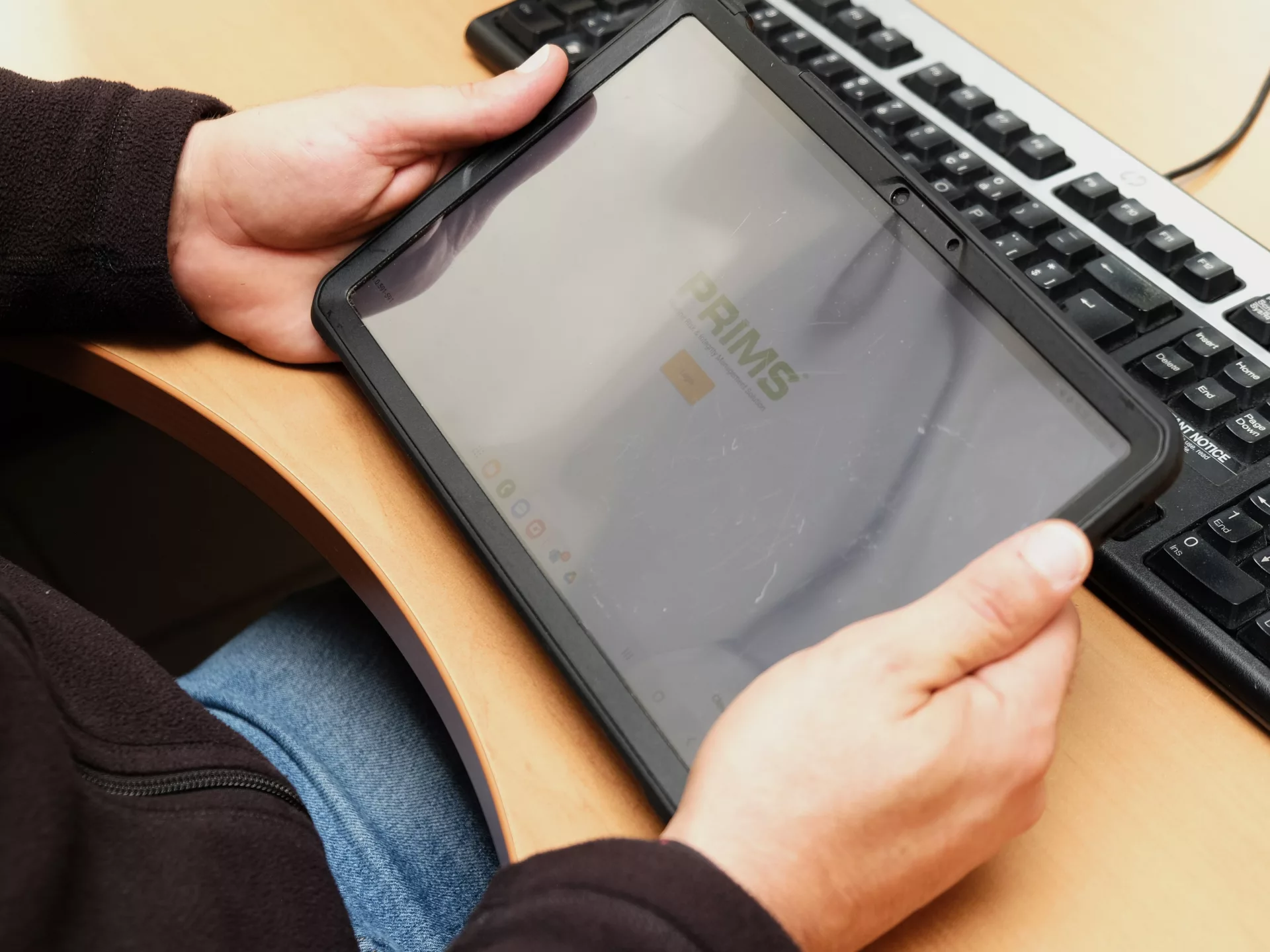
GIS GPS measurements enable the easy import and digitization of your assets at a very limited additional cost in any Geographic Information System (GIS), CAD drawing, or our Pipeline Information Management System called PRIMS.
XYZ localization
High-accuracy IMUs make it possible to obtain realistic pipeline route data from ILI runs. We combine this with every variety of additional data from simple satellite imagery to partial drawings to optimize the results. By using features like bends, parallel lines, and crossings, we create the optimum route possible from whatever combination of information is available.
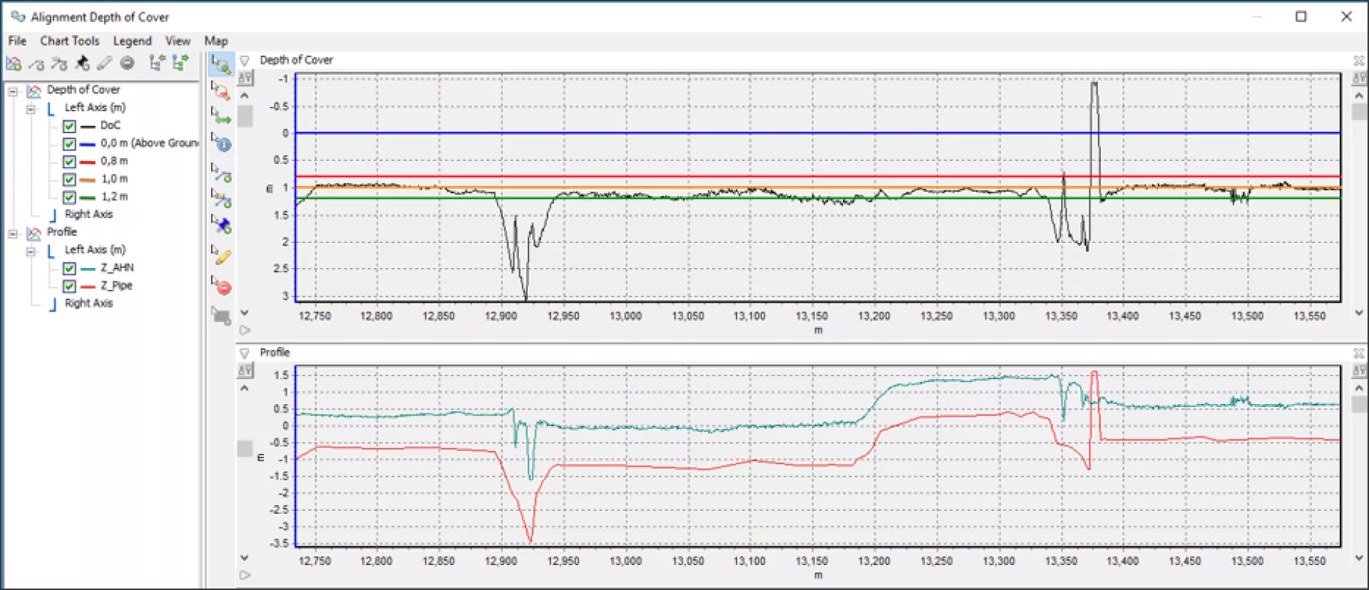
Depth Of Cover assessment
Let technology identify and help resolve your depth of cover issues. Having LIDAR data and XYZ pipeline data available helps you ensure adequate DoC by identifying the sections that require attention.
Right Of Way management
All ROW data can be incorporated into our PRIMS software application and can be visualized on maps as well as in tables or reports. Correspondence and other documents can also be included, attached to the land parcels or persons.
Pipeline inspections
Inspections are crucial in securing the visibility of your pipeline network, preventing uncoordinated third-party interferences, and following up on coordinated works.